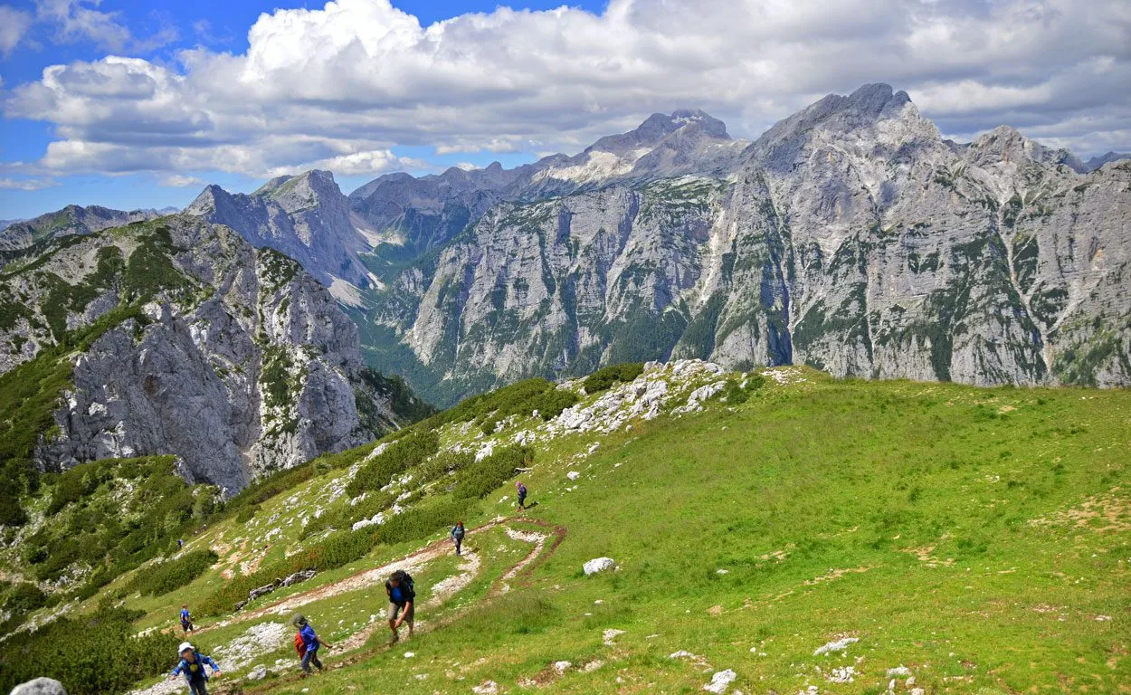
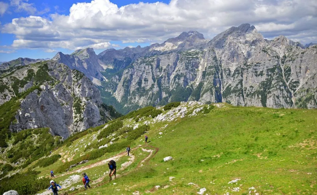
The Julian Alps are Slovenia’s alpine gem. Protected by Triglav National Park, this mountainous region is glorious beyond belief. The diversity of its landscapes, breathtaking views, and pristine nature cannot be described in words. It has to be experienced. And the best way to do that is by hiking down its trails.
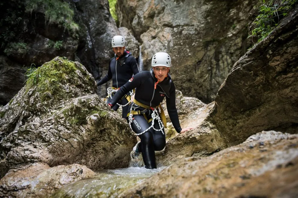
From short, easy walks, to daylong, demanding hikes, venturing into the Julian Alps is an unforgettable adventure. Dense forests, glacial lakes, stunning waterfalls, gigantic rocky walls wait in store. As do numerous mountain huts where you can rest and snack down on some fantastic local dishes. What are you waiting for? The mountains are calling!
Slemenova Špica – less effort, stunning views
We’re going to start you off nice and easy with one of the most popular hikes in the Slovenian Alps. Slemenova špica, a.k.a. Sleme, affords unrivaled views over the Julian Alps. The trail starts near Vršič, Slovenia’s famous mountain pass, which also makes an excellent detour. What’s great about this hike is that practically anyone can do it.
The path winds up past larch trees, which are especially beautiful in the fall, as you walk from one peak to another. Near the summit, there’s a small meadow (the actual place dubbed Sleme) where you can stop and have a picnic. When you get to the summit, the views of the surrounding Alps, stretching all the way to Italy and Austria, are mind-blowing.
Soča Trail – scenic and educational
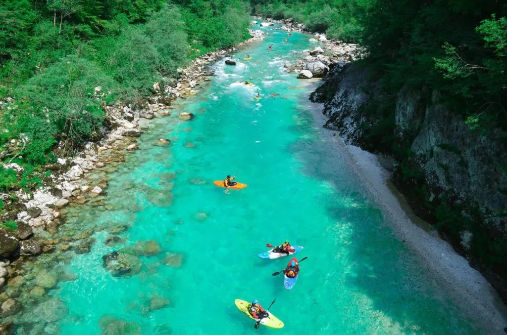
From a short hike to a ‘slightly’ longer one. This one doesn’t lead you up a mountain, but the Soča Trail is undeniably one of the most super scenic walks in Triglav National Park. The 25 km trail runs from the Soča River spring to Bovec (or vice versa) and is considered an excursion of intermediate difficulty. It’s part of the Alpe Adria trail, an awesome three-country (Austria, Slovenia Italy) hike.
The Soča Trail will take you around 7-8 hours, but we warned, time elapses quickly when you’re busy taking pics of absolutely everything. Apart from the route’s several gorges, its main attractions are the footbridges over the emerald Soča River.
Information boards line the path, so you can also learn a great deal about the various natural and cultural facts of the place you’re exploring.
Bohinj pastures trail – a roundup alpine hike
This long but thoroughly pleasant 18-km walk will take 5-7 hours, depending on your stamina and number of breaks. It passes through forests and meadows, up to numerous elevated areas with incredibly beautiful pastures and panoramic views of the Alps. You can stop off at numerous cottages and for a mid-hike snack, you can also try some scrumptious homemade dairy products at traditional dairy farms.
If you don’t fancy the lengthy, all-around trip, you can also choose one of the many other hikes near Lake Bohinj. For some, strolling around the lake itself will do. Or you can venture on the 4- km hike up to the famous Savica waterfall.
Debela peč – epic panorama
Accessed from the Pokljuka plateau in approx. 2 hours, the trail up to Debela peč is diverse and serenely pretty. The moderately demanding ascent takes you past steep walls on the northern side and grassy slopes on the south. Debal peč’s main feature is its incredible panoramic view of Triglav, the Krma Valley, with an array of other mountain groups in the background, touching it off with the dark forests of Pokljuka. In the distance, beyond the Sava river valley, you can even get a glimpse of Slovenia’s other Alps, the Kamnik Alps, and the Karawanks.
During winter, Debela peč is also a popular ski touring destination, with some 800 m of ski slopes from Pokljuka. Come summer, its northern face attracts adventurous climbers.
Valley of the Seven Lakes – 2 days, 7 lakes, endless joy
The Triglav Seven Lakes are the crème de la crème of the Julian Alps. If you have a couple of days to spare, you’ll be in for the hike of a lifetime. To set your mind at ease, the only very steep terrain comes right at the beginning, after that it’s relatively smooth hiking for the next 26 km of alpine bliss. Picturesque pastures, sharp ridges, out-of-this-world landscapes, jaw-dropping views, lovely mountain huts, and… you’ve guessed it, lakes. Shiny, sparkling, very cool lakes. Take the whole family along. The Seven Lakes Valley is packed with ridiculously diverse flora, fauna, fossils, and Instagram ops. Enter and be amazed!
Mount Krn – a hiking trail with a historic twist
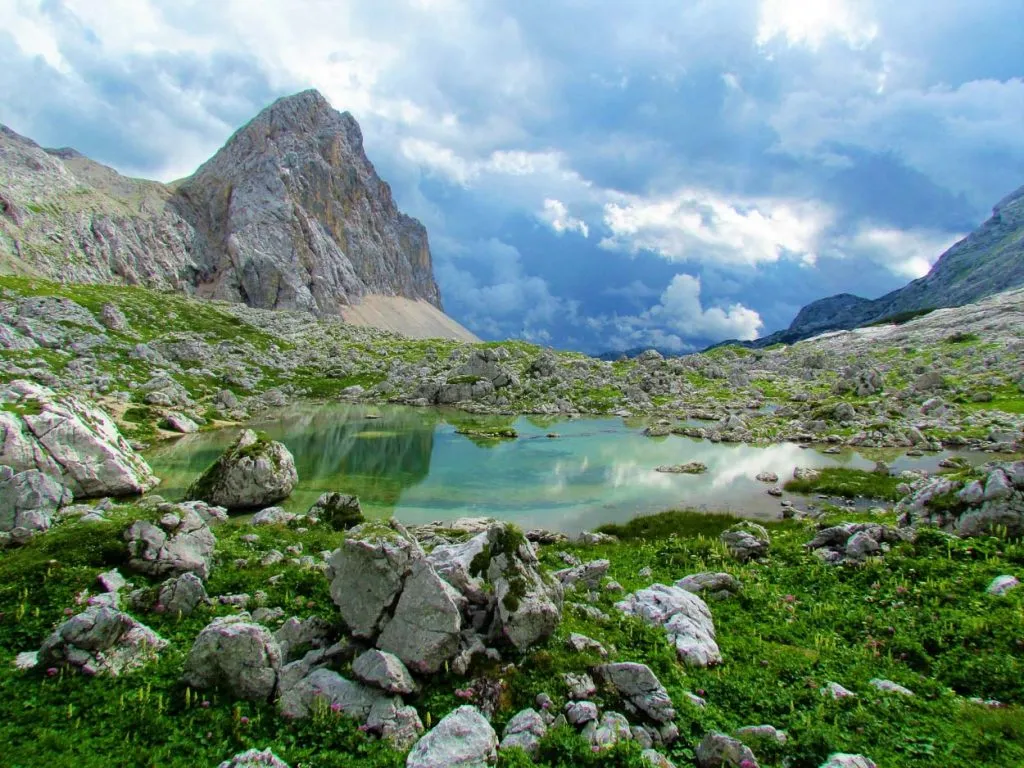
Like many peaks in Slovenia’s Julian Alps, there’s more than one route leading up to Krn. The technically demanding Silvo Koren trail is a via ferrata that should only be taken by the physically fit. The less steep southern Drežnica route is longer yet most worthwhile. On your 10-hour trek, you’ll come across valleys with glittering lakes and wooded lands with gentle meadows. On a clear day, Krn’s summit offers views of the Adriatic, all the high peaks of the Julian Alps and a picture-perfect scene of neighbouring green valleys and the turquoise Soča River.
Another perk of the Krn mountain trail is that it takes you into Slovenia’s history. During World War I, Krn was a bloody battleground. Crazy amounts of artefacts, like pieces of barbed wire or grenades, can be seen along the way. Both the Austro-Hungarians and Italians dug tunnels below the summit to reach the opposing side and blow each other up with dynamite. Today, evidence of this can still be seen on the summit’s plateau.
Kredarica and Slovenia’s highest mountain hut
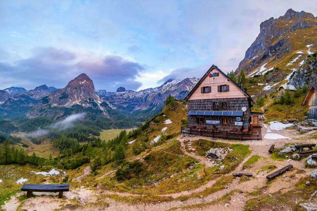
The 16 km hike to Kredarica is not a very challenging journey, which is why it’s very popular during the summer months. It’ll take you about 9 hours to get to Slovenia’s highest mountain hut from which you can almost grab the tip of Triglav.
You start off in the green valley and ascend far beyond the treeline. The hike runs across remote plains, wide grassy pastures, steep ridges, and sharp inclines. Your hard labor is rewarded by the views and the growing desire to tackle the symbol of Slovenia itself – Mount Triglav.
Mangart and the mountain pass that gets you there
From the highest hut to the highest mountain road. Mangart, the fourth highest mountain in Slovenia, lords over the western edge of the country and is located right on the border with Italy. A humongous rocky massif separates the two Julian Alps.
Driving up to Mangart is a proper adventure. The road is fairly narrow and you really must stay vigilant for bikers. The drive will take you about an hour. The 4 km hike itself takes 2-4 hours and can get quite demanding in parts that include areas secured by pegs and cables.
Needless to say, the drive, hike and accompanying views are surreal. Time to conquer the mountains is here!


